Minecraft: use coordinates to return to a known place
Coordinates become useful when you connect numbers to movement and terrain. Practise returning to a nearby known point before using them for a long expedition. A small exercise teaches the axis roles while showing why an exact destination still needs a traversable route.
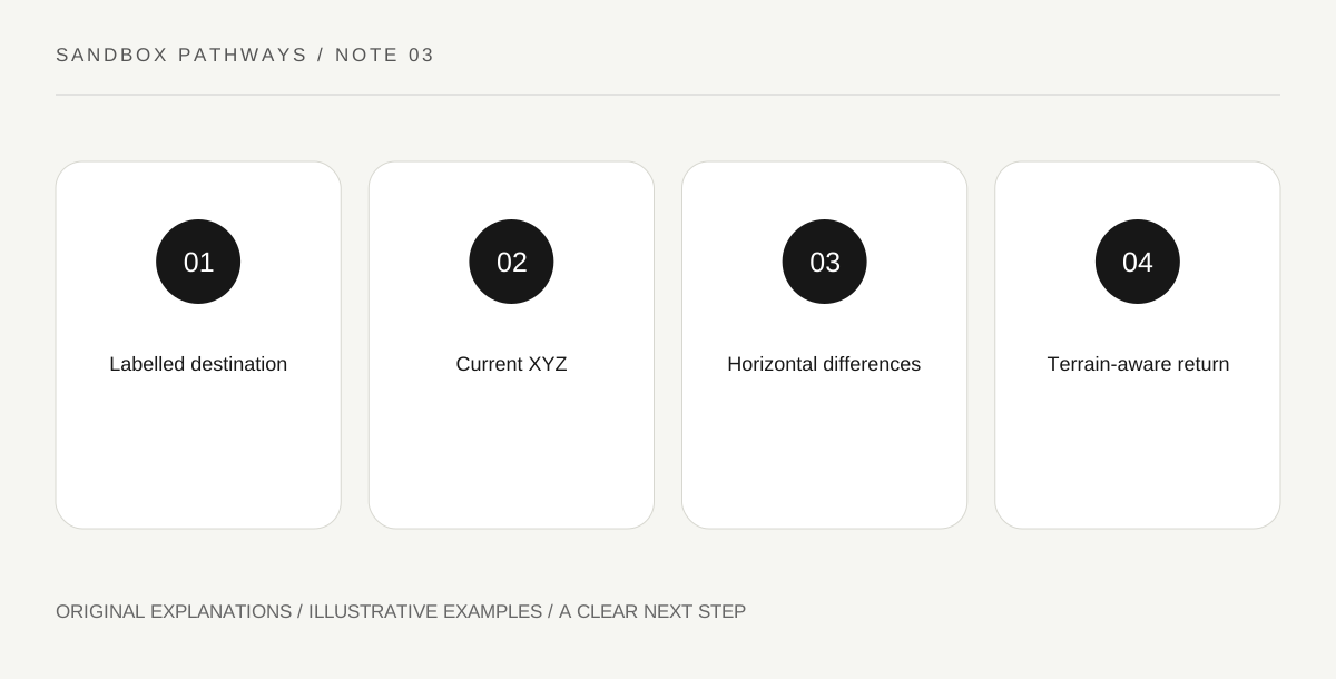
Original explanatory diagram. Read the full method and limitations below.
Record the destination completely
Minecraft’s exploration guide describes X for east/west position, Y for height and Z for north/south position. Record all three values together with the dimension and a short place label, such as front of shelter. Avoid writing only a memorable number or swapping the order. Display controls differ by edition, so use the supported coordinate view for your version. The learning exercise does not require commands or changing world rules. Choose a nearby destination you can already recognize visually; that lets you check the numbers against a real landmark before relying on them farther away.
Observe one axis at a time
Move a short distance on open ground and watch which values change. Then turn and repeat. This builds a connection between your movement and the readout without needing to memorize a compass diagram immediately. Do not conduct the first exercise beside a cliff or while enemies are forcing rapid movement. Keep the task small enough that you can stop and compare the starting and ending values. If more than one horizontal coordinate changes, you travelled diagonally relative to the axes. That is expected, not proof that the coordinate display is malfunctioning.
Plan a route, not a straight-line command
A coordinate destination is a position, not a promise that the direct line is walkable. Water, steep terrain and enclosed spaces can interrupt it. Use the numbers to judge whether your overall route approaches the destination while choosing passages you can actually traverse. Separate horizontal alignment from height. Matching X and Z while being above a cave does not put you inside it. Keep a visible entrance note for locations where access matters. This is why a useful location record combines coordinates with a small description instead of treating a three-number entry as a complete travel guide.
Use differences as a simple exercise
For a nearby return task, subtract your current horizontal values from the target values and inspect which direction each needs to change. You need not calculate a perfect shortest path. Travel in a manageable segment, stop and recheck. Keep signs visible: a negative coordinate is not the same position as the corresponding positive one. An illustrative notebook can show target, current position and remaining differences in separate columns. Once the return is comfortable, add a second landmark and practise a two-stop route. Increase complexity gradually rather than testing your first coordinate lesson during an irreplaceable expedition.
Practise the signed-number comparison on paper once before trying a longer route through unfamiliar terrain.
Illustrative practice scenario
Your fictional shelter marker is X 40, Y 70, Z -20; your nearby practice point is X 55, Y 70, Z -5. Returning requires lower X and lower Z values overall. A hill blocks a direct approach, so take a visible path around it while rechecking progress. The arithmetic guides direction; terrain determines the actual walk.
Practical checks
Optional checkboxes save only in this browser.
Questions that come up
Does matching two horizontal values finish every trip?
No. Height and access can still differ. A cave entrance or elevated structure needs more context than horizontal alignment.
Do I need teleport commands to learn coordinates?
No. A short walking exercise connects the readout to ordinary movement. Use your edition’s supported display controls.
References and scope
These sources support the factual background. Examples and exercises are original illustrative teaching material. References do not imply endorsement.
- Minecraft: exploring the Overworld — X east/west, Y height and Z north/south coordinate roles. Unsupported height-limit and spawn-origin statements in the source are not repeated.